
Product Description
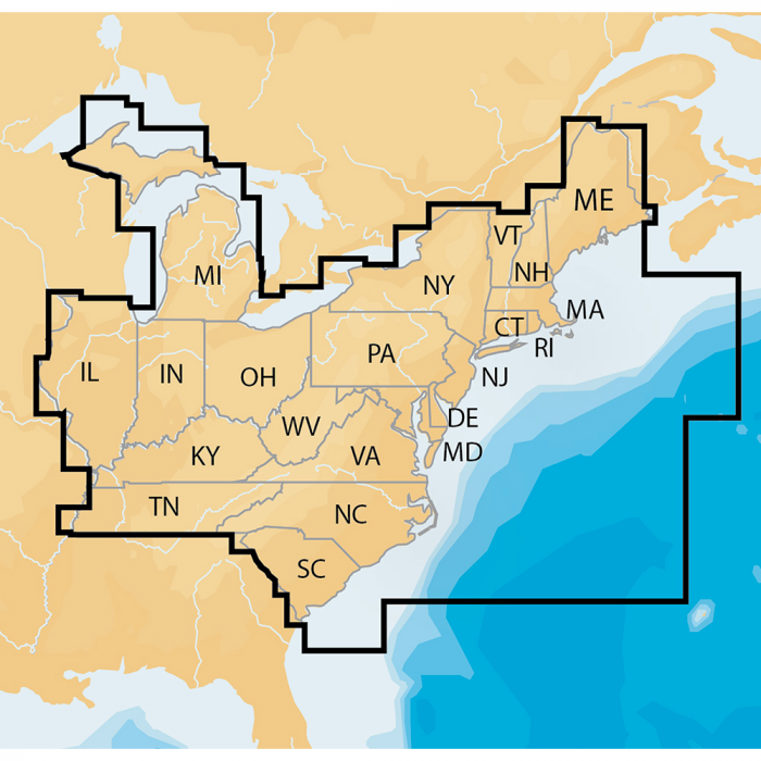
Navionics+ Regions - East - Preloaded MSD FormatFeatures:Marine and lake chartsOne foot contoursDaily updates and advanced features for one yearBoat safer and fish smarter. Max-detailed cartography for marine and lakes that is updated daily, makes Navionics+ the perfect choice for cruising and fishing. Get Nautical Chart, the most accurate navigational data; SonarChart(TM), an exclusive 1 ft HD bathymetry map; and Community Edits, local content from the community. Daily updates and advanced features are included for one year. Simply plug your card into your PC/Mac and register at navionics.com. USB reader provided.Additional Features:Preloaded with Nautical Chart and SonarChart(TM); Community Edits are downloadableEnjoy advanced features: SonarChart(TM) Live, Advanced Map Options and Plotter SyncEnhance SonarChart(TM) with sonar logs you collectNAV+EA: East Coverage DetailsCT, DE, IL, IN, KY, MA, MD, ME, MI, NC, NH, NJ, NY, OH, PA, RI, SC, TN, VA, VT and WV7,000 lakes and growingFull marine coverage, plus US waters of the Great LakesThis product may not be returned to the original point of purchase. Please contact the manufacturer directly with any issues or concerns.

 Amazon
 eBay


