Product Description
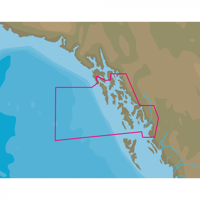
NT+ NA-C810 Dixon Entrance to Chatham Strait - C-Card FormatCOVERAGE AREA:Dixon Entrance to Chatham StraitCARD FORMAT:C-CardC-MAP NT+ cartography helped launch a digital charting revolution years ago, and it is still as useful and reliable as ever. For fishermen, sailors and cruisers who continue to depend on C-MAP NT+, we provide updates twice annually to ensure that navigators benefit from all the latest Coast Guard Notice to Mariner (NTM) changes and other important chart data updates.Features:Full Featured Vector Charts C-MAP NT+ provides boaters with the accurate, up-to-date vector chart detail including Depth Areas and Contours, Spot Soundings, NavAids, Light Sectors, Wrecks/Obstructions, Small Craft Facilities and more.Harbor & Approach Details The detail and information available with C-MAP NT+ charts lets boaters approach any harbor and inlet with confidence - the perfect conclusion to a long voyage, sailing adventure or exciting day of bluewater fishing.Tides C-MAP NT+ Tides feature presents the time, water level and direction of tides with Tide Level graphs. This information is vital for navigation and fishing.C-Marina Port Database C-Marina Port database and detailed marina charts in C-MAP NT+ provides useful, categorized information for cruisers, fishermen and sailors - including Port Layout and Facilities, Operating Hours, Accessibility, phone/Email Contact Info and more.Global CoverageRich chart detail and available data to aid in safe navigationPort & Tide InformationFrequently updated chart dataEasy on-screen queries of chart objects for greater situational awarenessCompatible with many brands and models of chartplotters on the waterCompatible with PC PlannerThis product may not be returned to the original point of purchase. Please contact the manufacturer directly with any issues or concerns.

 Amazon
 eBay
eBay

))/3319067.json)
))/3073474.json)
))/3318309.json)

![C-MAP MAX NA-M320 -Passamaquoddy Bay ME-NC: Bathy - C-Card [NA-M320C-CARD]](https://cdn.shopify.com/s/files/1/0623/5298/2222/files/33236XL.webp?v=1747549598)

))/3073472.json?$BPSMkt_ProductFeeds$&extend=380,380,380,380)
))/3073474.json?$BPSMkt_ProductFeeds$&extend=380,380,380,380)
))/3319060.json?$BPSMkt_ProductFeeds$&extend=380,380,380,380)
))/3319066.json?$BPSMkt_ProductFeeds$&extend=380,380,380,380)