Product Description
When you choose C-MAP you can count on accurate, up-to-date charts from official sources worldwide, advanced features, and C-MAP's commitment to safe navigation. C-MAP MAX-N+ cartography brings the majority of the C-MAP 4D content and many of its features and functions to selected navigation systems, combining accurate, up-to-date global chart data with features designed specifically for avid anglers, cruisers and sailors.Specifications and Features:High-Resolution Bathymetric (HRB) bottom contour/fishing charts to help anglers target fish-holding coastal and offshore structure more effectivelyDynamic Tides & Currents predictions that help anglers determine the best times to hit productive rips, shoals, rocks and channelsAerial photos and worldwide database of Marina Info/Port Services great for cruisers, sailors, and traveling fishermenSport Fishing Data for valuable information on wrecks/reefs, including composition, depth, orientation and other details anglers can use to fish more effectivelyHigh-resolution satellite imagery to enhance situational awareness and improve safetyDynamic Raster Charts for a traditional "paper chart" look with the ability to "pull up" information on important chart objectsShaded relief vector chart presentation highlights specific depth contours, valuable when cruising or fishing

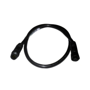
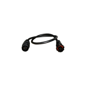
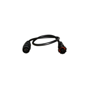
LOWRANCE 000-12571-001 LOW 9 PIN/BLUE TO 7 PIN/BLACK
$29.99
In Stock
at Sportsman Fulfillment
Price verified today
 Amazon
 eBay
eBay