Product Description
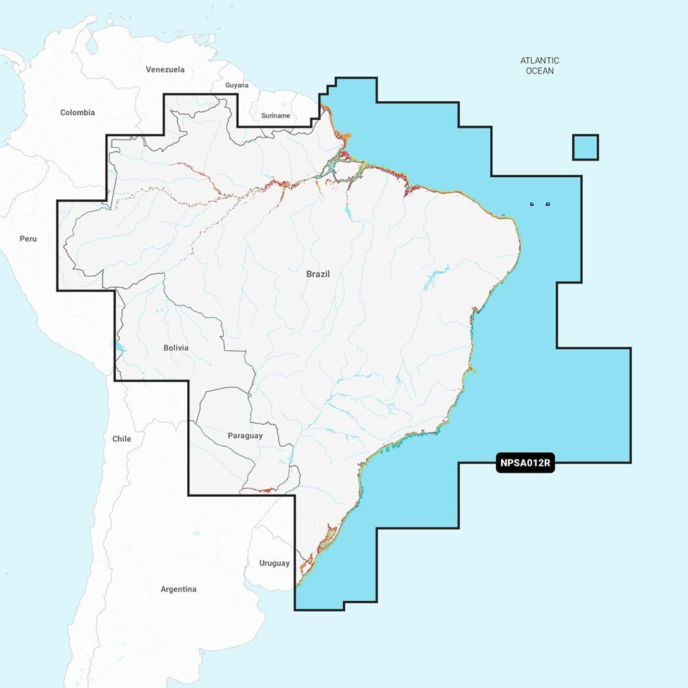
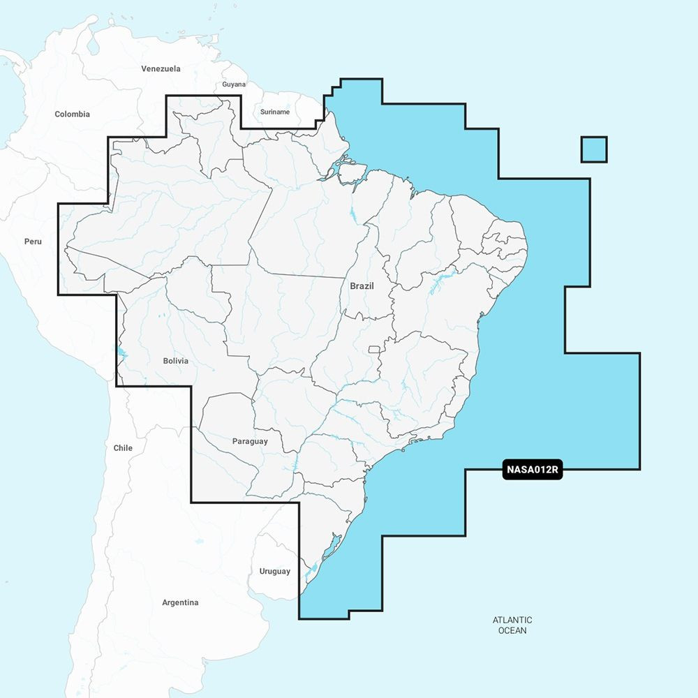
NASA012R - Brazil - Navionics+Get the world's No. 1 choice in marine mapping - with the best, most up-to-date Navionics+ cartography on a compatible chartplotter. For offshore or inland waters, this all-in-one solution offers detail-rich integrated mapping of coastal waters, lakes, rivers, and more. Get SonarChart 1' (0.5 meters) HD bathymetry maps and advanced features such as dock-to-dock route guidance technology, live mapping, and Plotter Sync to provide wireless access to daily updates.The Navionics Chart Installer software also ensures the freshest chart data every time. Navionics dock-to-dock route guidance solutions suggest a path to follow through channels, inlets, marina entrances, and more. Multiple shading options aid in shallow-water navigation and make it easy to highlight a target depth range for the best fishing spots.Chart Code: NASA012RCoverage Area: Detailed coverage of the coast of Brazil. Also including the Amazon River from Benjamin Constant to the Atlantic Ocean.; Features: Coastal Content - Offers detail-rich integrated mapping of coastal waters, lakes, rivers, and more; Inland Content - 44,000+ lakes; Detailed Nautical Charts - Comprehensive charts are derived from multiple officials, government, and private sources, displayed in a familiar look and feel; SonarChart HD Bathymetry - Innovative 1' (0.5 m) bathymetry charts are created by using Navionics proprietary systems that augment existing content with sonar data contributed by the boating community; Daily Updates - Up to 5,000 daily updates to the charts give the most accurate, most current Navionics data available; Dock-to-dock Route Guidance2 - Start the trip with a suggested path; Plotter Sync1 - Allows compatible chartplotter owners to transfer routes and markers, update chart layers, and more; Community Edits - Get useful local knowledge from edits made by users of the Navionics Boating app on a compatible smart device; Advanced Map Options1 - Customize the view to focus on the details that matter most; SonarChartTM Live Mapping3 - Watch new 1' personal HD bathymetry maps develop in real-time as the boat moves along the water (it appears as an additional layer over the map, while it also gets stored on the device for future use); Compatibility: Check the compatibility of Navionics+ content and features with the GPS chartplotter; Technical Specifications: Format: SD/MSD Card; In the Box: SD/MSD Card; 1Subscription not required for the SonarChart Live mapping feature on some chartplotter models; requires the latest chartplotter firmware release.2Dock-to-dock Route Guidance is for planning purposes only and does not replace safe navigation operations.*Sold as an IndividualThis product may not be returned to the original point of purchase. Please contact the manufacturer directly with any issues or concerns. - cis2:mm5mnJlm -Quick Guide (pdf)Brochure (pdf)

Navionics 010-C1461-30 NASA012R - Brazil - Navionics+
$140.99
In Stock
at Wholesale Marine
Price verified today
 Amazon
 eBay
Product Details
Brand
Navionics