
Product Description
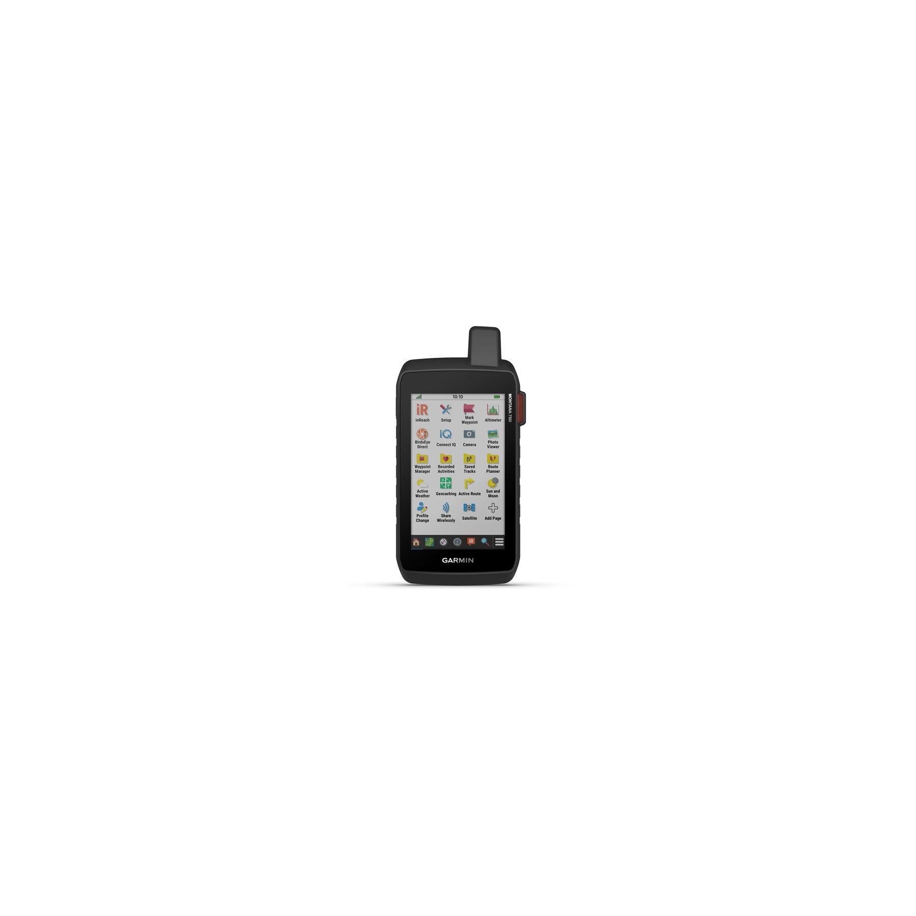
Garmin Montana 750i GPS Touchscreen Navigator with inReach Technology And 8 MP Camera The Garmin Montana 750i is a superior GPS device with integrated inReach Technology, allowing for interactive SOS and two-way messaging via the global Iridium satellite network. With an 8-megapixel camera and geotagging, it captures memorable moments and facilitates navigation back to those spots. Ideal for various activities, it features routable mapping for roads and trails in a sturdy 5 format, with adaptable mounts for different vehicles (sold separately). Built to withstand challenging conditions, it meets Mil-Std 810 standards. Access BirdsEye Satellite Imagery directly to your device for realistic views and waypoint creation, with direct-to-device downloads (no annual subscription required). Navigate confidently with ABC sensors, including altimeter, barometer, and 3-axis electronic compass, utilizing Gps, Glonass, and Galileo satellite networks. Enjoy over 18 hours of lithium-ion battery life in GPS mode or extended tracking in Expedition mode, compatible with traditional AA batteries. Enhance navigation with preloaded topographical maps for the U.s. and Canada, seamlessly transitioning between trails and road navigation with City Navigator street mapping. Optionally display federal public land boundaries on topographical maps. Paired with a smartphone or an active inReach subscription, access up-to-date Active Weather forecasts. The LiveTrack feature connects with other Garmin GPS users for real-time tracking, and the web-based MapShare trip-sharing page allows followers to monitor your progress, ping your device, and exchange messages during your trip. For hunters and trainers, sync with compatible Astro or Alpha series handhelds (sold separately) to track sporting dogs in the field. Includes: Montana 750i Lithium-ion battery pack USB cable Quickstart Guide Specs: Dimensions: 3.6 x 7.2 x 1.3 (9.19 x 18.30 x 3.27 cm) Display size: 2.55 W x 4.25 H (6.48 x 10.80 cm) 5 diag (12.70 cm) Display type: Wvga transflective, dual orientation Display resolution: 480 x 800 pixels Weight: 14.5 oz (410 g) with included lithium-ion battery pack Battery type: rechargeable lithium-ion (included) or 3 AA batteries (not included) lithium recommended Battery life: GPS Mode: up to 18 hours, Expedition Mode: up to 330 hours Waterproof Ipx7 Mil-Std-810: yes (thermal, shock, water, vibe) High-sensitivity receiver Interface: high-speed micro USB and Nmea 0183 compatible 16 GB built-in memory (user space varies based on included mapping) Maps & Memory: Preloaded maps: yes (TopoActive, by region Federal Public Lands maps, U.s. only) Ability to add maps: yes Basemap: yes Automatic routing (turn by turn routing on roads): yes (with optional mapping for detailed roads) Map segments: 15000 Birdseye: yes (direct to device) Includes detailed hydrographic features (coastlines, lake/river shorelines, wetlands and perennial and seasonal streams) Includes searchable points of interests (parks, campgrounds, scenic lookouts and picnic sites) Displays national, state and local parks, forests, and wilderness areas External memory storage: yes (32 GB max microSD card) Waypoints/favorites/locations: 10000 Tracks: 250 Track log: 20000 points, 250 saved GPX tracks, 300 saved fit activities Routes: 250, 250 points per route 50 points auto routing Rinex logging Sensors: GPS Glonass Galileo Barometric altimeter Compass: yes (tilt-compensated 3-axis) GPS compass (while moving) Daily Smart Features: Connect IQ (downloadable watch faces, data fields, widgets and apps) Virb remote Pairs with Garmin Connect mobile Active weather Smart notifications on handheld Safety and Tracking Features: Livetrack Outdoor Recreation: Point-to-point navigation Compatible with Basecamp Area calculation Hunt/fish calendar Sun and moon information Xero locations Geocaching-friendly: yes (geocache live) Custom maps compatible: yes (500 custom map tiles) Picture viewer 8 megapixel camera with autofocus, automatic geo-tagging LED beacon flashlight inReach Features: Interactive SOS Send and receive text messages to SMS and email Send and receive text messages to other inReach device Exchange locations with other inReach device Mapshare compatible with tracking Virtual keyboard for custom messaging Outdoor Applications: Compatible with Garmin Explore app Garmin Explore website compatible Dog tracking: yes (when paired to compatible dog track system) Connections: Wireless connectivity (Wi-Fi, Bluetooth, Ant+) Note: inReach requires an active satellite subscription. Some jurisdictions regulate or prohibit the use of satellite communications devices. It is the responsibility of the user to know and follow all applicable laws in the jurisdictions where the device is intended to be used.

 Amazon
 eBay
eBay