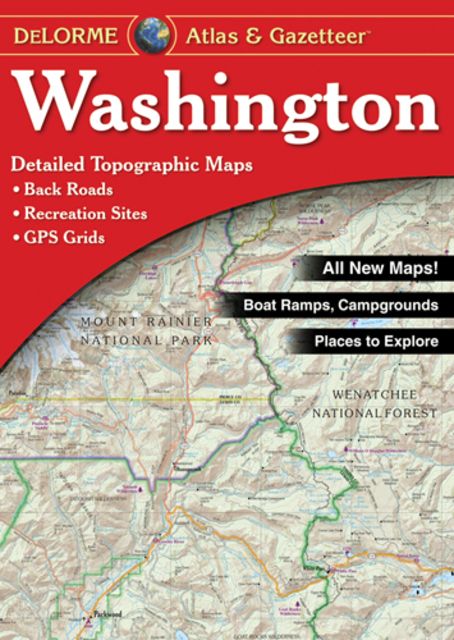
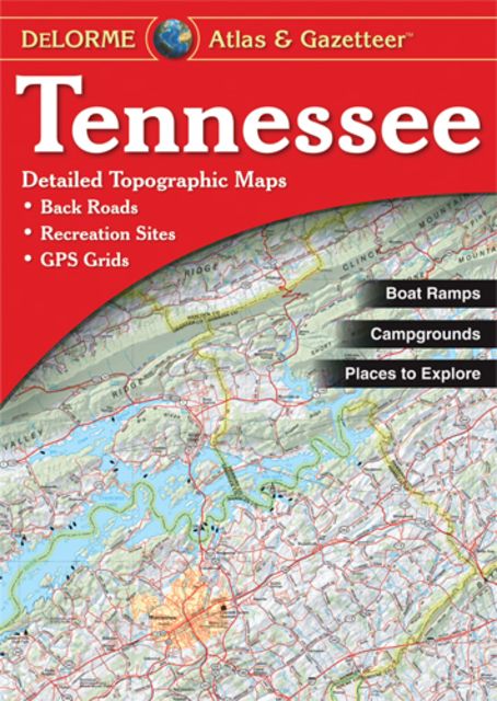
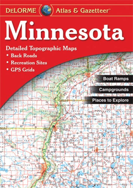
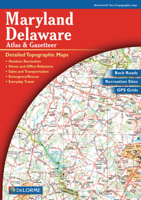
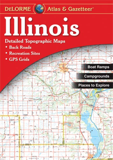
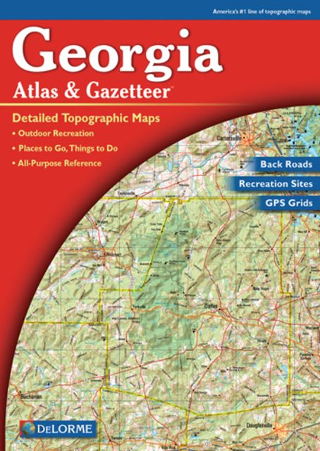
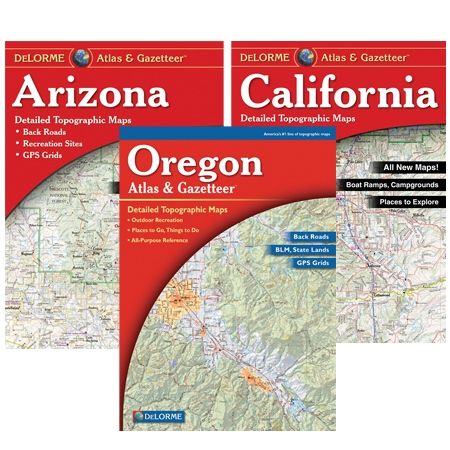
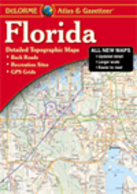
Product Description
Wouldn&';t it be nice to always have exactly the right kind of map, whatever your needs may be? You will, with the uniquely versatile DeLorme Atlas & Gazetteer Series. These topographic atlases cover individual states, with the most comprehensive detail available. This includes back roads, backwater lakes and streams, public lands, prime hunting and fishing spots, and countless points of interest. You&';ll also find a wealth of information on everything, from family outings to wilderness adventures. The Atlas & Gazetteer is the ideal book to have on any of your travels. Recreational, business, or countless other uses, this tool will be the thing to bring. For the utmost in trip planning and backcountry access Contains topographic maps with unbeatable detail Gazetteer information on great places to go and things to do Each atlas is a quality paperback; size 11" x 15-1/2" Map Detail Commonly Includes: Back roads Dirt roads and trails Elevation contours Remote lakes and streams Boat Ramps Public lands for recreation Land use / land cover (Forests, Wetlands, Agriculture Trailheads Campgrounds Prime hunting and fishing spots Suggested Uses: In-vehicle for everyday reference Exploring back roads Outdoor recreation-preparation and navigation Business travel Planning vacations and leisure activities Armchair journeys Arizona Atlas Facts: Scale: 1:260,000 (1"=4.1 miles) Contour Interval: 300&'; Each Page Covers: 41.25 miles x 57.6 miles GPS: Grids and tick marks Copyright 2010 Special Features Shaded relief Grand Canyon Map & Gazetteer BLM & state lands Statewide, publicly owned lands locator map Pages: 56 pp. of maps 68 pp. in all


))/50007685.json?$BPSMkt_ProductFeeds$&extend=380,380,380,380)