Product Description
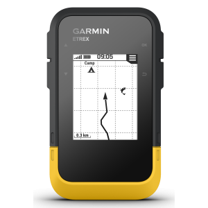
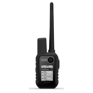
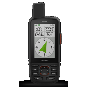
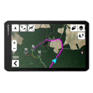
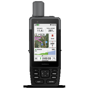
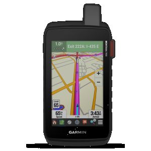
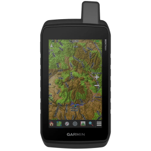
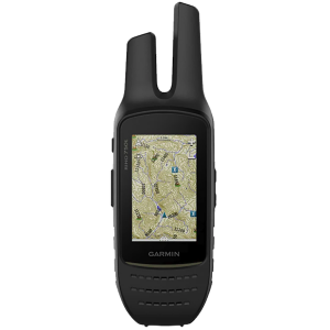
GO EXPLORE THE OUTDOORS Make more time for adventure with this premium, rugged handheld. Get long battery life and multi-band technology for enhanced accuracy plus preloaded TopoActive maps and access to satellite imagery. Features See your route clearly on the 3" sunlight-readable color display. Travel longer with up to 180 hours of battery life in GPS mode and up to 840 hours in expedition mode. Track your position in challenging conditions with multi-band technology and expanded GNSS support. See the terrain you&&';;ll travel with vivid satellite imagery that downloads right to your navigator. Stay tuned to the forecast with active weather on your route when paired to your compatible smartphone. MULTI-BAND GNSS SUPPORT Access multiple global navigation satellite systems (GPS, GLONASS, Galileo and QZSS). Get access to multiple frequencies sent by navigation satellites for improved position accuracy in areas where GNSS signals are reflected, weak or typically don&';t penetrate. ABC SENSORS Navigate every trail with ABC sensors, including an altimeter for elevation data, barometer to monitor weather and 3-axis electronic compass. SATELLITE IMAGERY Download high-resolution photorealistic maps directly to your device via Wi-FiA(R) technology. Easily find trails, pick stand locations and parking, create waypoints and more. PRELOADED TOPO MAPS Preloaded TopoActive U.S., Mexico and Canada maps show you terrain contours, topographic elevations, summits, parks, coastlines, rivers, lakes and geographical points. PREMIUM MAP FEATURES With an Outdoor Maps+ subscription, you get public land information, landowner names, state plat maps, hunting management unit boundaries, BLM boundaries and more.